GeoJSON into ScraperWiki will go!
 Surely everyone likes things on maps?
Driven by this thought we’re produced a new tool for the ScraperWiki Platform: an importer for GeoJSON.
GeoJSON is a file format for encoding geographic information. It is based on JSON which is popular for web based APIs because it is light weight, flexible and easy to parse by JavaScript – the language that powers the interactive web.
We envisage the GeoJSON importer being handy to visualise geographic data, and export that data to software like Tableau using our OData connector.
Why should I import GeoJSON into the ScraperWiki Platform?
Importing any data to the ScraperWiki Platform allows you to visualise your data using tools like View in a Table, or Summarise this Data which is great for this GeoJSON of Parisian Street Art:
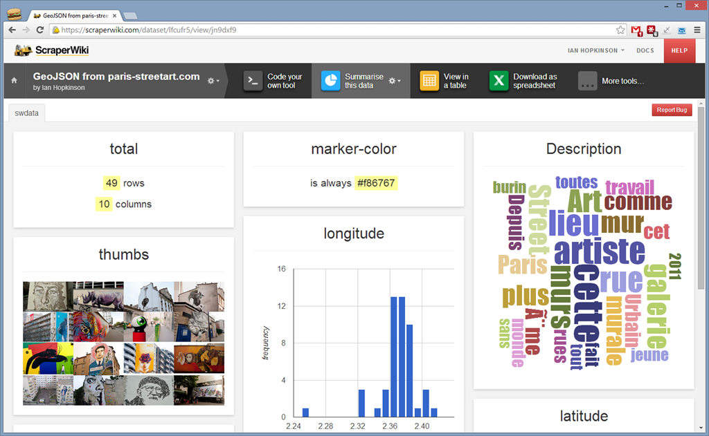
In addition you can use tools such as download to CSV or Excel, so it will act as a file converter.
An improved View on a Map tool
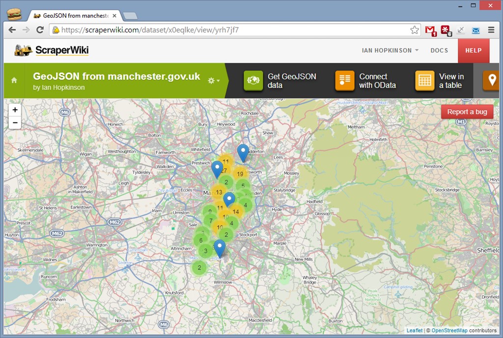
We’ve improved the View on a Map tool so you can visualise GeoJSON data right on the Platform, we found that if we tried to plot 10,000 points on a map it all got a bit slow and difficult to use, so we added point clustering. Now, if you have a map with lots of points on it then are clustered together under a symbol with the number of points on it. The colour of the symbol shows the density of points… a picture paints a thousand words, so see the results below for a map of Manchester’s grit bins:
Linking to Tableau using OData
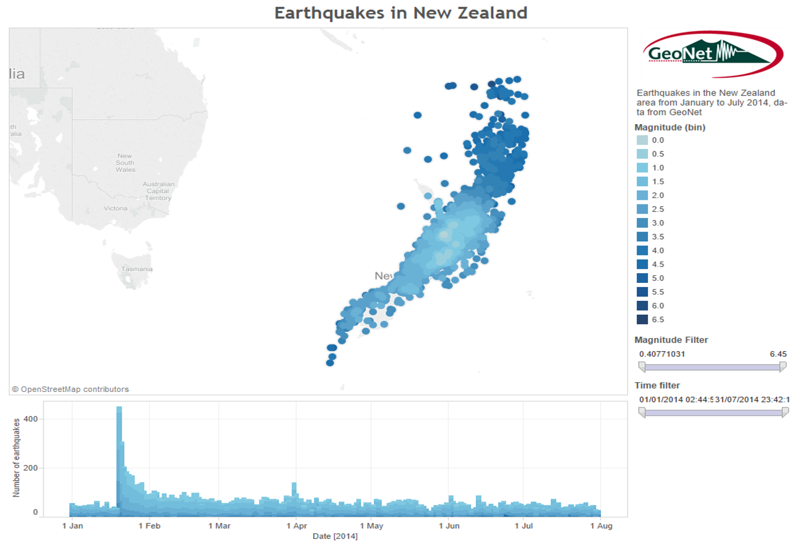
Or you could use the OData connector to attach directly to Tableau, we did this with some data from GeoNet on earthquakes around New Zealand. We’ve provided instructions on how to do this in an early blog post. If you want to try an interactive version of the Tableau visualisation then it’s here.
What will you do with the GeoJSON tool?